- Itinerari
- Cycle Tourism
- Active & Green
Greenway Voghera Varzi
A green way towards the Appennines

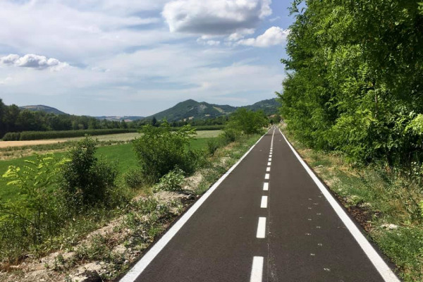
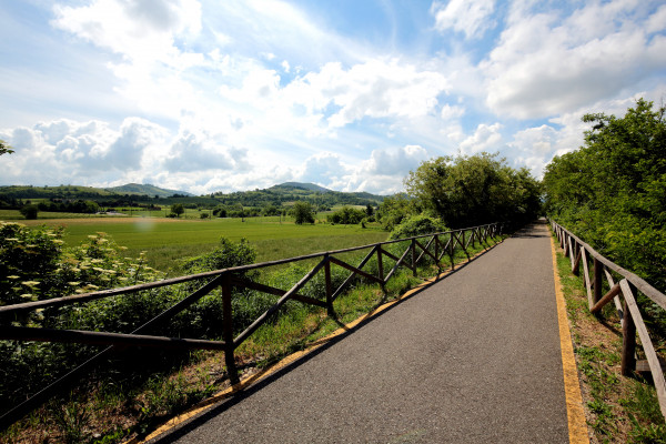
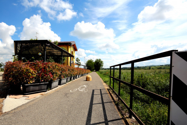
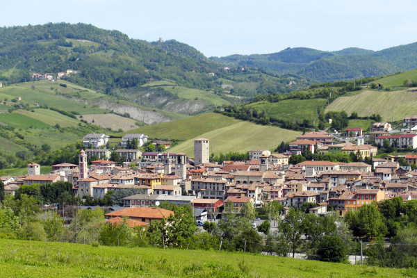
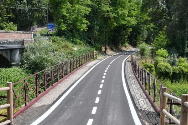
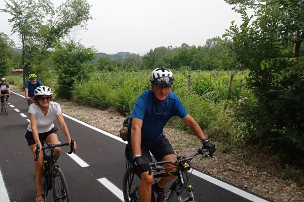
At the foot of the Apennines in Lombardy, where the plain starts to gather into hills covered by vineyards and woods, there used to be an old railway line. Today, completely restored, it has become the Voghera - Varzi Greenway, a path that winds through the valley of the river Staffora and lets you discover the rich charm and allure of this region.
The Voghera - Varzi Greenway is a dedicated cycling/ pedestrian path: passing through cultivated fields, vineyards, woods and enchanting villages, it is a sustainable journey in the Oltrepò Pavese, a corner of Lombardy in the province of Pavia, on the doorstep of Milan. Situated in an area known as the Four Provinces, the Oltrepò Pavese, historically, is a borderland: a place where unique traditions meet, a blend of elements from Piedmont, Lombardy, Liguria and Emilia. The Greenway begins in Voghera, in the Po Valley, south of the river Po (at 96 m a.s.l.) and continues along a long, false plain to Salice Terme (at 180 m a.s.l.) 14 km later (with an elevation difference of 84 m and an average gradient of 0.6%).
Bike rental:
- In Voghera: Ciclofficina Via Palazzina n.15 Tel. +39 3381001409 Mail: treottouno@tiscali.it Opening hours: Monday to Sunday, 8:00 am – 8:00 pm Rental rates: €15/day for e-bikes and €10/day for standard (non-electric) bikes. Bicycle delivery service to Voghera Railway Station available for visitors arriving by train.
- In Rivanazzano Terme: Dioniso Cicli Greenway - Viale Martiri della Libertà n.15 Tel +39 0383 272182 Mail: dionisogreenway@gmail.com
- In Godiasco Salice Terme: SalicEbike Via delle Terme 99 Tel +39 329 475 4515 Mail luca.ebikesalice@gmail.com
Foto di Daniele Fantini
Mostra cosa c'è nelle vicinanze: